Exploring Colonial America: Detailed Maps from The Map Archive"
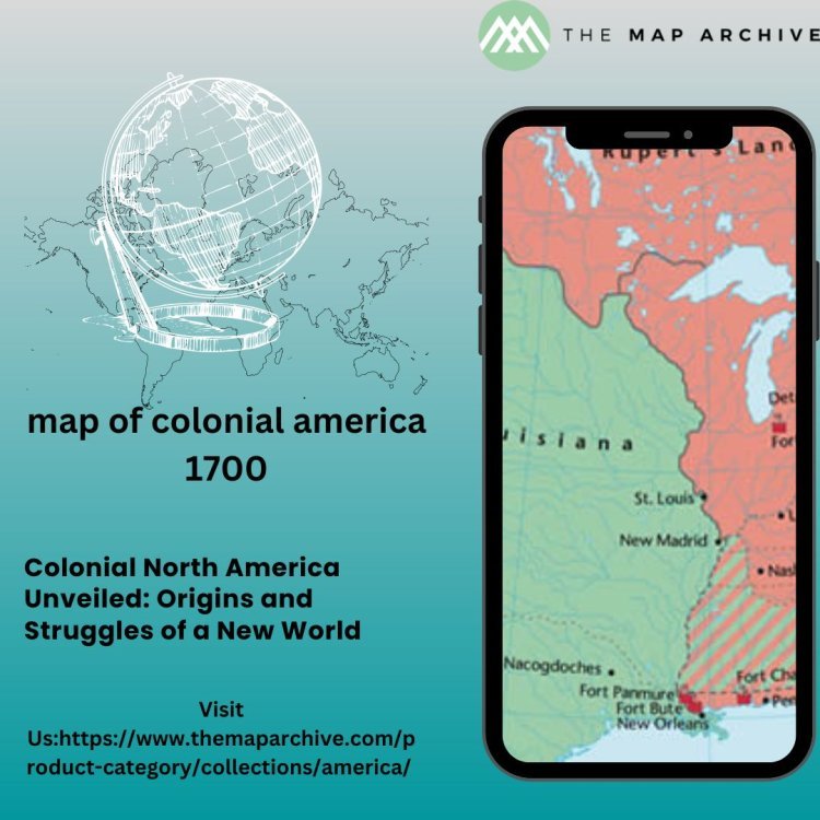
The map of Colonial North America provides insights into the political and territorial divisions of the time.
Maps are not just static images; they are windows into history, offering glimpses of the past and guiding us through the intricate tapestry of human experience. In the case of Colonial North America, maps are particularly invaluable, serving as both navigational tools and historical artifacts. As we embark on a journey through the colonial landscape of North America, let us uncover the stories woven into the cartographic representations of this era.
The Cartographic Tapestry of Colonial America:
In the early days of European colonization, maps were essential instruments for exploration, expansion, and conquest. They were not only tools for navigation but also instruments of power, used to assert territorial claims and justify colonial endeavors. The colonial map of North America, as preserved in archives such as The Map Archive, provides a rich tapestry of historical insights.
One of the earliest and most influential maps of Colonial America is the 1612 map by John Smith, famously known as the "Virginia Map." Smith's map not only delineated the boundaries of the Virginia colony but also depicted indigenous communities and geographical features with remarkable detail. It served as both a practical guide for settlers and a propaganda tool for attracting investors to the New World venture.
As the colonies expanded and evolved, so too did the maps that represented them. The mid-18th century saw the emergence of highly detailed maps, such as those produced by Lewis Evans and Joshua Fry and Peter Jefferson. These maps not only showcased the territorial extent of the colonies but also provided insights into the topography, natural resources, and indigenous populations of the region.
The Colonial Landscape:
To understand Colonial America through maps is to comprehend the complex interplay of cultures, economies, and geopolitics that defined this era. Maps reveal the strategic importance of key settlements such as Jamestown, Plymouth, and Boston, as well as the network of trade routes that connected them.
For example, maps depicting the French and Indian War offer insights into the geopolitical dynamics of the time, illustrating the struggle for dominance between European powers and the alliances forged with indigenous nations. Similarly, maps of the triangular trade routes lay bare the brutal reality of the transatlantic slave trade, highlighting the economic interests that drove the exploitation of human lives.
Beyond the geopolitical realm, maps also shed light on the environmental impact of colonialism. They document the transformation of landscapes through deforestation, urbanization, and the introduction of non-native species. They also reveal the ways in which indigenous knowledge and land management practices were often ignored or exploited for colonial gain.
Challenges of Interpretation:
While maps are invaluable sources of historical information, they are not without their limitations and biases. Colonial maps, in particular, reflect the perspectives and agendas of their creators, often at the expense of indigenous peoples and cultures.
For example, many colonial maps perpetuated stereotypes and misconceptions about indigenous communities, portraying them as primitive or exotic. Likewise, colonial maps often downplayed the complexity of indigenous land tenure systems, leading to disputes and conflicts over territory.
Furthermore, maps can be deceptive in their portrayal of power dynamics, obscuring the realities of colonial oppression and exploitation. They may omit or marginalize the voices of marginalized communities, perpetuating narratives of conquest and triumphalism.
Interpreting colonial maps requires a critical eye and an awareness of the historical context in which they were produced. It is essential to consider who created the map, for what purpose, and whose perspectives were included or excluded.
Preserving Colonial Maps:
The preservation of colonial maps is essential for understanding and commemorating the diverse experiences of people who lived in Colonial America. Archives such as The Map Archive play a crucial role in safeguarding these artifacts for future generations.
However, preserving colonial maps is not without its challenges. These documents are often fragile and susceptible to damage from factors such as light, humidity, and pests. Additionally, the digitization of colonial maps presents both opportunities and challenges, allowing for wider access but also raising questions about authenticity and ownership.
Efforts to digitize and catalog colonial maps are underway in many institutions, making these resources more accessible to scholars, educators, and the general public. Collaborative projects such as the Colonial North American Project at Harvard University aim to digitize and publish online collections of colonial-era maps, providing new avenues for research and exploration.
Conclusion:
Colonial maps are more than just geographic representations; they are windows into the past, offering insights into the complex history of Colonial America. By studying these maps, we can uncover the stories of exploration, conquest, and resistance that shaped the continent we know today.
As we navigate the colonial landscape through maps, let us remember to approach them with curiosity, humility, and critical awareness. By doing so, we can enrich our understanding of the past and honor the diverse experiences of those who came before us.
What's Your Reaction?


![Wireless Connectivity Software Market Size, Share | Statistics [2032]](https://handyclassified.com/uploads/images/202404/image_100x75_661f3be896033.jpg)


